
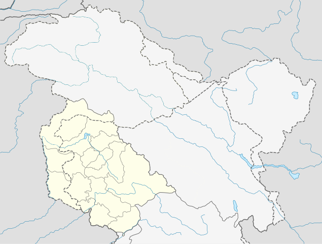
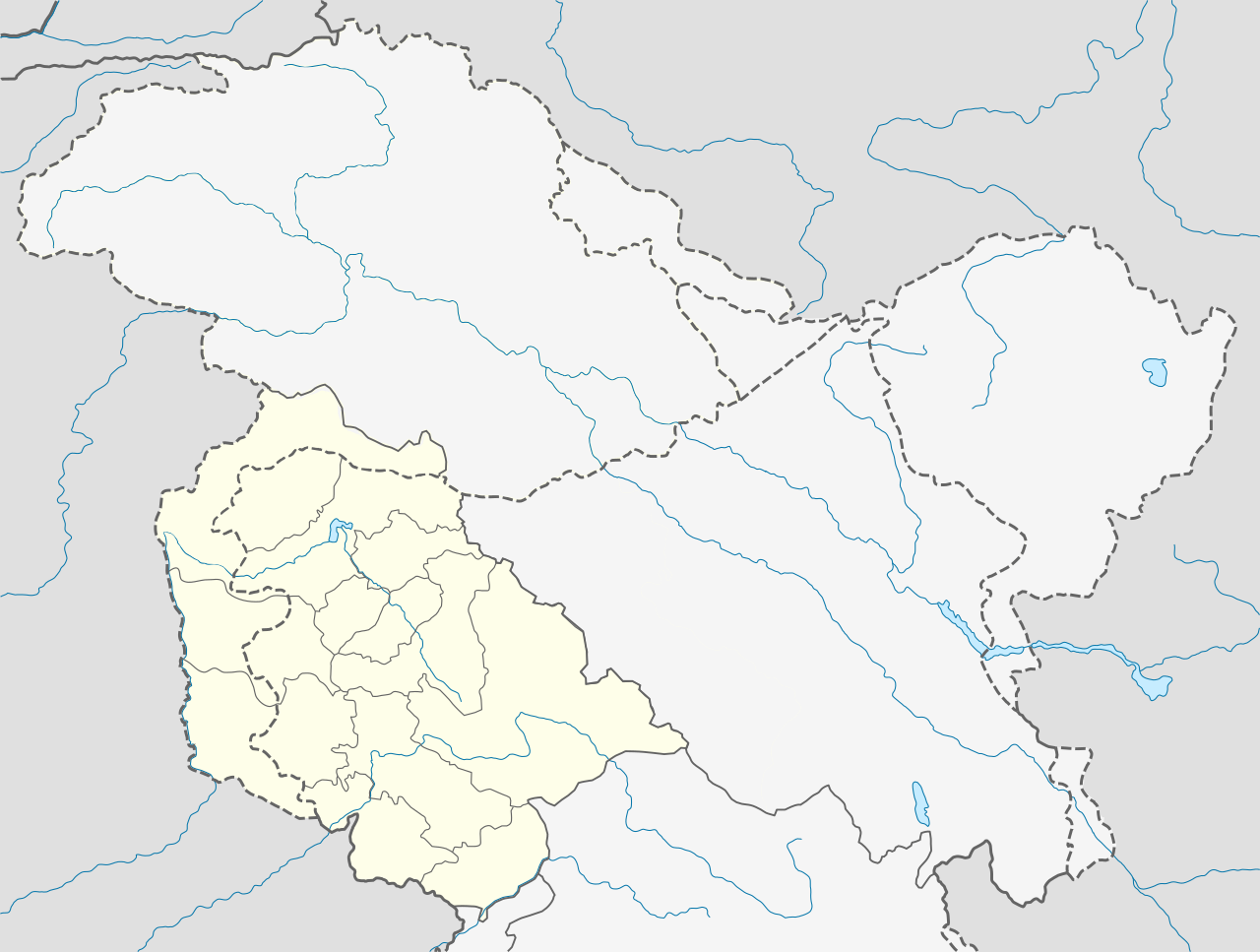
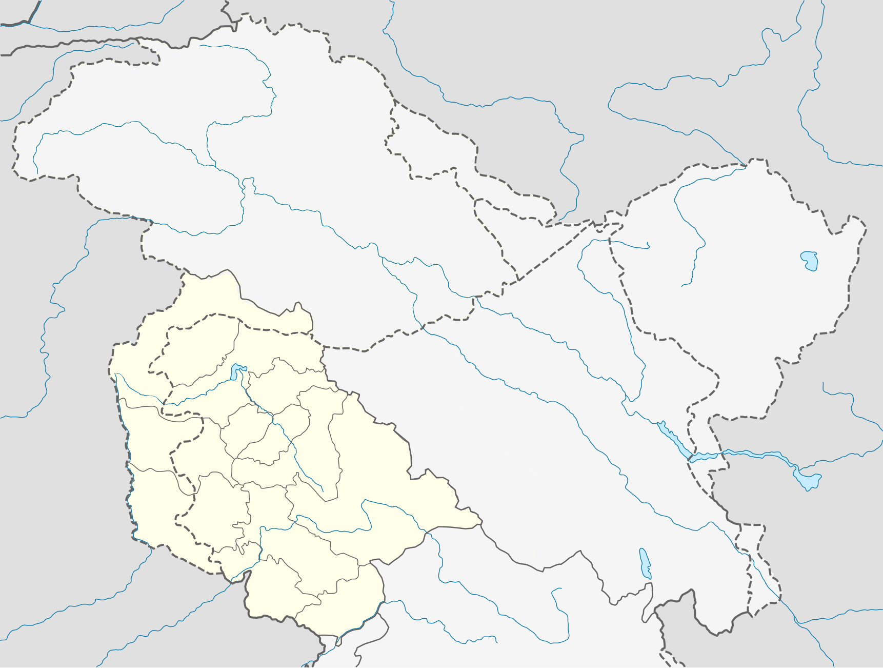
ფაილი:India Jammu and Kashmir location map Indian view.svg

ათე SVG ფაილიშ PNG გიწოთოლორაფაშ ზჷმა რე: 794 × 600 პიქსელი. შხვა გოფართაფა: 318 × 240 პიქსელი | 635 × 480 პიქსელი | 1,017 × 768 პიქსელი | 1,280 × 967 პიქსელი | 2,560 × 1,934 პიქსელი | 1,722 × 1,301 პიქსელი.
ორიგინალი ფაილი (SVG ფაილი, ნომინალურო 1,722 × 1,301 პიქსელი, ფაილიშ ზჷმა: 258 კბ)
| ეჭარუა | Quadratische Plattkarte, N-S-Streckung 120 %. Geographische Begrenzung der Karte: * N: 37.2° N * S: 32.1° N * W: 72.4° O * O: 80.5° O Equirectangular projection, N/S stretching 120 %. Geographic limits of the map: * N: 37.2° N * S: 32.1° N * W: 72.4° E * E: 80.5° E |
| თარიღი | (UTC) |
| წყუ | |
| ავტორი |
|
| ეს არის რედაქტირებული ფაილი, რომლის ორიგინალი იყო ციფრულად დამუშავებული.ცვლილება შემდეგია: indian view, so separate. ორიგინალი ინახება აქ: India Jammu and Kashmir location map.svg. რედაქტირება მოახდინა Avoided blue.
|
მე, ამ ნამუშევარზე საავტორო უფლებების მფლობელი, ვაქვეყნებ მას შემდეგი ლიცენზიით:
თე ნახანდი იბჟინუაფუ Creative Commons Attribution-Share Alike 3.0 Unported ლიცენზიათ.
- თქვა დუდიშულო შეილებჷნა:
- ნახანდიშ გობჟინაფა – ნახანდიშ კოპირაფა, გობჟინაფა დო გჷნოჩამა.
- დორსხილეფიშ აკოქიმინუა – ნახანდიშ გიშათინუა
- გეჸვენჯი პიჯალეფით:
- ავტორიშ მეწურაფა – თქვა წყუშ აკმაქიმინალი მეუწურუათ ოკო თი შარათ, მუჭოთ დარინუ ავტორქ ვარდა საავტორო ნებეფიშ მაღვენჯიქ. მარა ვართ თეშ, ითამ წყუშ ავტორქ ალობა მერჩეს თქვა ვარდა ალობა მეჩჷ თქვანიშით აკოქიმინელჷ ნოწარმუს.
- კჷნ მანგი პიჯალეფით გობჟინაფა – დო თქვა ქოთირანთ, ვარ-და გჷთმაჭყანთ ახალ ნახანდის თე ნახანდიშ გჷმორინაფათ-და, თქვა გიღჷნა ნება თინა გაბჟინუათ კჷნ თი ვარ-და ომანგე ლიცენზიათ, ნამუშჷთ იბჟინუაფჷ წყუ.
ატვირთვის ჟურნალი
This image is a derivative work of the following images:
- File:India_Jammu_and_Kashmir_location_map.svg licensed with Cc-by-sa-3.0
- 2011-02-16T13:08:20Z NordNordWest 1722x1301 (196067 Bytes) Who cares discussions (discussion? only you: http://en.wikipedia.org/w/index.php?title=File_talk:India_Jammu_and_Kashmir_location_map.svg&action=history) at en:WP when this is a Commons file? Another revert by you -> COM:V.
- 2011-02-16T12:46:34Z Avoided blue 1722x1301 (259968 Bytes) Discussion was there on en:wiki for long time, the map otherwise is completely misleading
- 2011-02-15T12:10:59Z NordNordWest 1722x1301 (196067 Bytes) see [[:en:Kashmir conflict]], especially [[:en:Kashmir conflict#Indian view]], and [[:en:Instrument of Accession (Jammu and Kashmir)]], no changes of difficult maps without discussion
- 2011-02-15T06:47:01Z Avoided blue 1722x1301 (259968 Bytes) Fix colors of areas that are not militarily controlled by India.
- 2010-04-15T08:35:10Z NordNordWest 1722x1301 (196067 Bytes) =={{int:filedesc}}== {{Information |Description= {{de|Positionskarte von [[:de:Jammu und Kashmir|Jammu und Kashmir]], [[:de:Indien|Indien]]}} Quadratische Plattkarte, N-S-Streckung 120 %. Geographische Begrenzung der Karte: *
Uploaded with derivativeFX
ფაილიშ ისტორია
ქიგუნჭირით რიცხვის/ბორჯის თიშო, ნამჷ-და ქოძირათ ფაილი თი რედაქციათ, ნამუ რედაქციას თი რიცხვის/ბორჯის რდუნ.
| რიცხუ/ბორჯი | ჭკუდი | გონზჷმილაფეფი | მახვარებუ | კომენტარი | |
|---|---|---|---|---|---|
| მიმალი | 11:52, 23 ქირსეთუთა 2020 | | 1,722 × 1,301 (258 კბ) | Sbb1413 | Corrected borders per official map. |
| 18:11, 22 ქირსეთუთა 2020 |  | 1,722 × 1,301 (230 კბ) | Sbb1413 | Jhelum | |
| 17:57, 22 ქირსეთუთა 2020 |  | 1,722 × 1,301 (230 კბ) | Sbb1413 | River | |
| 17:55, 22 ქირსეთუთა 2020 |  | 1,722 × 1,301 (230 კბ) | Sbb1413 | Restoring IPOV. | |
| 07:34, 24 ფურთუთა 2011 |  | 1,722 × 1,301 (190 კბ) | Avoided blue | {{Information |Description={{de|Positionskarte von Jammu und Kashmir, Indien. De-facto-Situation.}} Quadratische Plattkarte, N-S-Streckung 120 %. Geographische Begrenzung der Karte: * N: 37.2° N * S: 32.1° N * W: |
ფაილიშ გჷმორინაფა
გეჸვენჯი ხასჷლეფი გჷმირინუანა თე ფაილს: