
ფაილი:Great Britain 1789.svg

ათე SVG ფაილიშ PNG გიწოთოლორაფაშ ზჷმა რე: 450 × 456 პიქსელი. შხვა გოფართაფა: 237 × 240 პიქსელი | 474 × 480 პიქსელი | 758 × 768 პიქსელი | 1,011 × 1,024 პიქსელი | 2,021 × 2,048 პიქსელი.
ორიგინალი ფაილი (SVG ფაილი, ნომინალურო 450 × 456 პიქსელი, ფაილიშ ზჷმა: 848 კბ)
რეზიუმე


.svg)
.svg)
.svg)
.svg)
.svg)


.svg)
.svg)
.svg)


.png)
.png)


.svg)


.svg)

.svg)


.svg)
.svg)
.svg)
.svg)


.svg)
.png)


.svg)


.svg)
.svg)


.svg)


.svg)


.svg)
.svg)
.svg)
.svg)
.svg)
.svg)
.svg)
_cropped.svg)
.svg)
.svg)
.svg)
.svg)
.svg)
.svg)
.svg)
.svg)
.svg)
.svg)
.svg)
.svg)
.svg)
.svg)
.svg)
.svg)
.svg)
.svg)
.svg)
.svg)
.svg)
.svg)
.svg)
.svg)
.svg)
.svg)
.svg)
.svg)
.svg)
.svg)
.svg)
.svg)
.svg)
.svg)
.svg)
.svg)
.svg)
.svg)
.svg)
.svg)
.svg)
.svg)
.svg)
.svg)
.svg)
ლიცენზირაფა
მე, ამ ნამუშევარზე საავტორო უფლებების მფლობელი, ვაქვეყნებ მას შემდეგი ლიცენზიით:
თე ნახანდი იბჟინუაფუ Creative Commons Attribution-Share Alike 3.0 Unported ლიცენზიათ.
- თქვა დუდიშულო შეილებჷნა:
- ნახანდიშ გობჟინაფა – ნახანდიშ კოპირაფა, გობჟინაფა დო გჷნოჩამა.
- დორსხილეფიშ აკოქიმინუა – ნახანდიშ გიშათინუა
- გეჸვენჯი პიჯალეფით:
- ავტორიშ მეწურაფა – თქვა წყუშ აკმაქიმინალი მეუწურუათ ოკო თი შარათ, მუჭოთ დარინუ ავტორქ ვარდა საავტორო ნებეფიშ მაღვენჯიქ. მარა ვართ თეშ, ითამ წყუშ ავტორქ ალობა მერჩეს თქვა ვარდა ალობა მეჩჷ თქვანიშით აკოქიმინელჷ ნოწარმუს.
- კჷნ მანგი პიჯალეფით გობჟინაფა – დო თქვა ქოთირანთ, ვარ-და გჷთმაჭყანთ ახალ ნახანდის თე ნახანდიშ გჷმორინაფათ-და, თქვა გიღჷნა ნება თინა გაბჟინუათ კჷნ თი ვარ-და ომანგე ლიცენზიათ, ნამუშჷთ იბჟინუაფჷ წყუ.
ატვირთვის ჟურნალი
This image is a derivative work of the following images:
- File:Europe_1789.svg licensed with Cc-by-sa-3.0
- 2013-04-14T03:44:26Z Alphathon 450x456 (858577 Bytes) Corrected some errors in northern Italy
- 2013-04-14T01:38:01Z Alphathon 450x456 (853881 Bytes) tweaked again
- 2013-04-14T01:36:10Z Alphathon 450x456 (853881 Bytes) Tweaked Holy Roman Empire border style
- 2013-04-14T01:33:26Z Alphathon 450x456 (853857 Bytes) == {{int:filedesc}} == {{Information |Description={{en|A blank Map of Europe circa 1789. This map also includes a border for the [[:en:Holy Roman Empire|Holy Roman Empire]]. Since there are so many small German states, they h
Uploaded with derivativeFX
ფაილიშ ისტორია
ქიგუნჭირით რიცხვის/ბორჯის თიშო, ნამჷ-და ქოძირათ ფაილი თი რედაქციათ, ნამუ რედაქციას თი რიცხვის/ბორჯის რდუნ.
| რიცხუ/ბორჯი | ჭკუდი | გონზჷმილაფეფი | მახვარებუ | კომენტარი | |
|---|---|---|---|---|---|
| მიმალი | 20:42, 19 ქირსეთუთა 2023 | | 450 × 456 (848 კბ) | Iktsokh | Cyprus paler grey |
| 15:17, 26 მესი 2022 |  | 450 × 456 (846 კბ) | Cyygma | Changing pale green to light green (more visible) | |
| 12:08, 17 გჷმათუთა 2021 |  | 450 × 456 (846 კბ) | Fenn-O-maniC | Fixed the Russo-Swedish border to match the Treaty of Åbo of 1743 | |
| 20:20, 5 ეკენია 2017 |  | 450 × 456 (857 კბ) | Alphathon | Danzig | |
| 19:55, 5 ეკენია 2017 |  | 450 × 456 (840 კბ) | Alphathon | Added Brunswick-Lüneburg to British domains as it was rules in a personal union | |
| 19:45, 5 ეკენია 2017 |  | 450 × 456 (840 კბ) | Alphathon | Made Asia paler grey | |
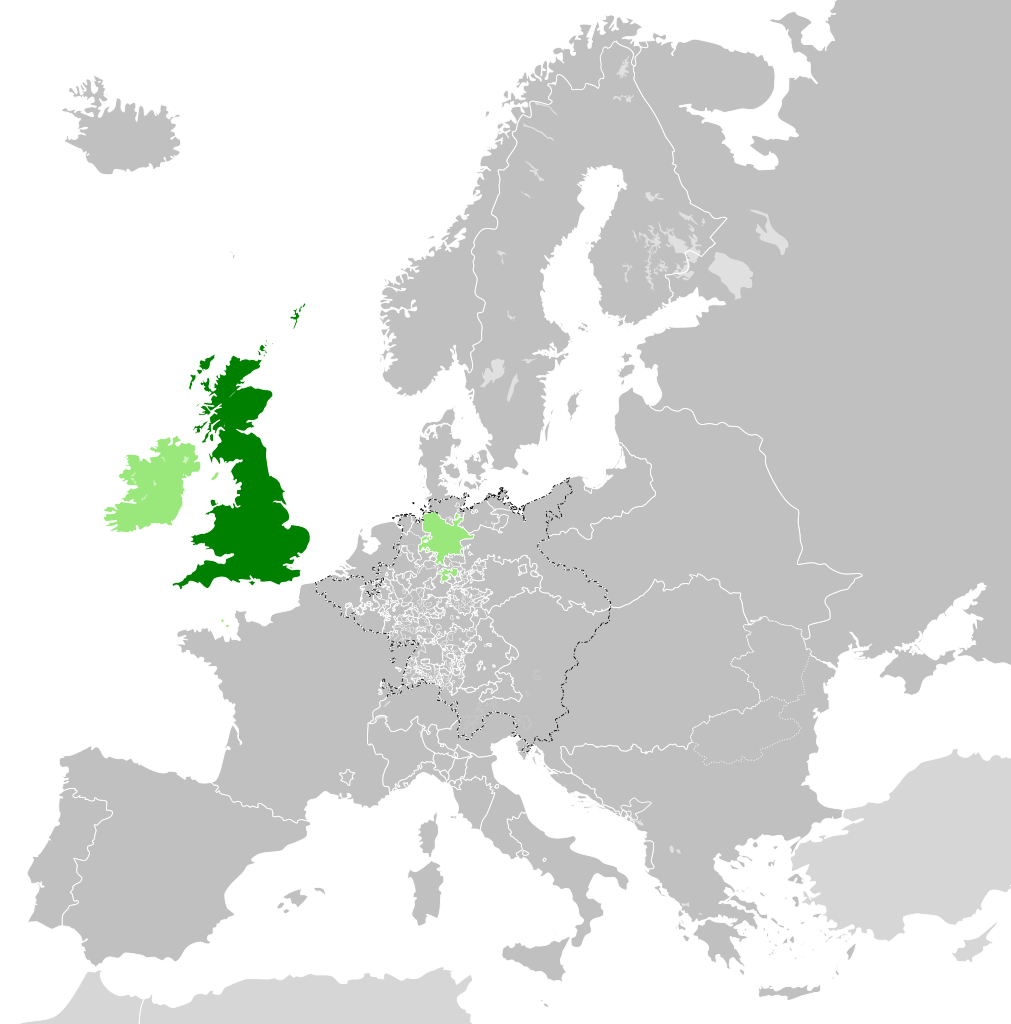
| 19:34, 5 ეკენია 2017 |  | 450 × 456 (840 კბ) | Alphathon | == {{int:filedesc}} == {{Information |Description={{en|A map of the en:Kingdom of Great Britain circa 1789. Other British-held territories (Ireland, Mann, Channel Islands) are also shown in pale green.}}{{de|Eine Karte des [[:de:Königreich Groß... |
ფაილიშ გჷმორინაფა
გეჸვენჯი ხასჷლა გჷმირინუანს თე ფაილს:
ფაილიშ გლობალური გჷმორინაფა
თე ფაილი გჷმირინუაფუ გეჸვენჯი ვიკეფს:
- azb.wikipedia.org-ს გჷმორინაფა
- bn.wikipedia.org-ს გჷმორინაფა
- cs.wikipedia.org-ს გჷმორინაფა
- da.wikipedia.org-ს გჷმორინაფა
- de.wikipedia.org-ს გჷმორინაფა
- el.wikipedia.org-ს გჷმორინაფა
- en.wikipedia.org-ს გჷმორინაფა
- es.wikipedia.org-ს გჷმორინაფა
- eu.wikipedia.org-ს გჷმორინაფა
- fi.wikipedia.org-ს გჷმორინაფა
- fr.wikipedia.org-ს გჷმორინაფა
- fy.wikipedia.org-ს გჷმორინაფა
- gv.wikipedia.org-ს გჷმორინაფა
- he.wikipedia.org-ს გჷმორინაფა
- id.wikipedia.org-ს გჷმორინაფა
- it.wikipedia.org-ს გჷმორინაფა
- ja.wikipedia.org-ს გჷმორინაფა
- ko.wikipedia.org-ს გჷმორინაფა
- lo.wikipedia.org-ს გჷმორინაფა
- lv.wikipedia.org-ს გჷმორინაფა
- pt.wikipedia.org-ს გჷმორინაფა
- sco.wikipedia.org-ს გჷმორინაფა
- sk.wikipedia.org-ს გჷმორინაფა
- sl.wikipedia.org-ს გჷმორინაფა
- sq.wikipedia.org-ს გჷმორინაფა
- th.wikipedia.org-ს გჷმორინაფა
- tr.wikipedia.org-ს გჷმორინაფა
- vi.wikipedia.org-ს გჷმორინაფა
- zh.wikipedia.org-ს გჷმორინაფა